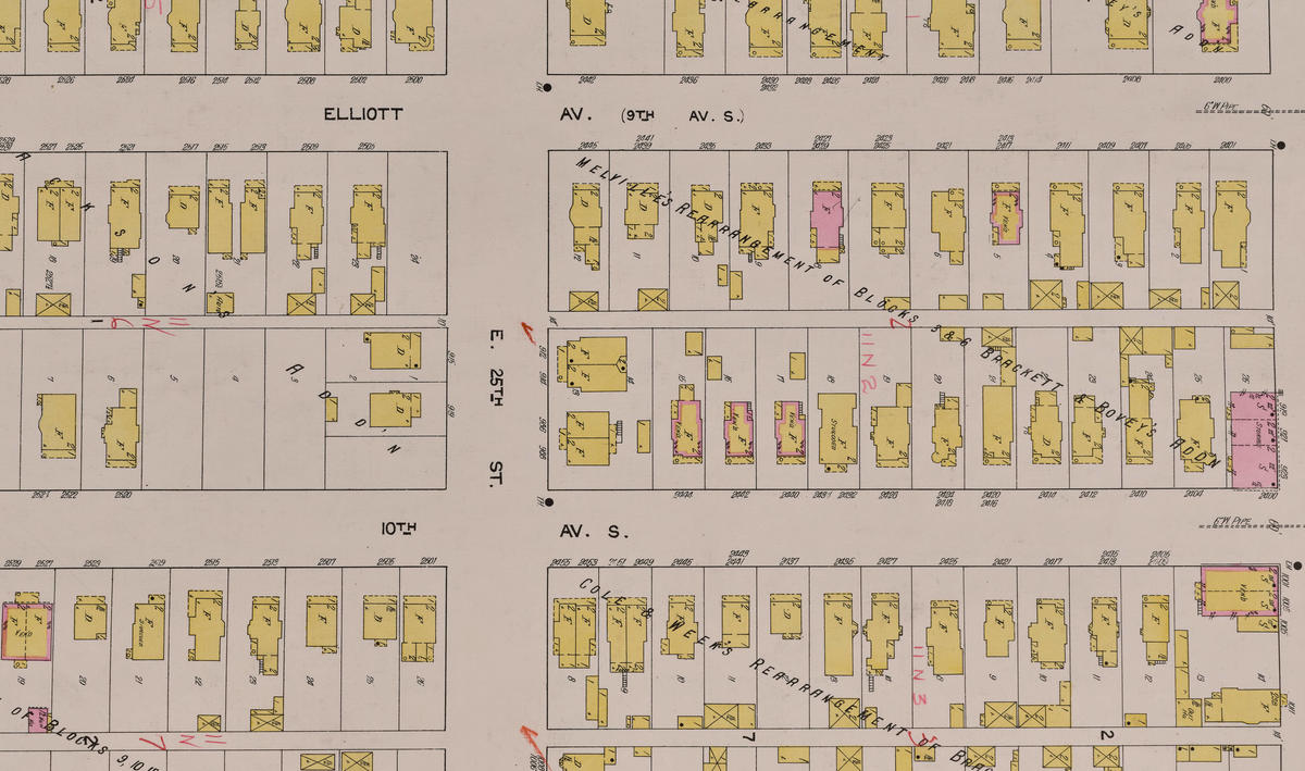
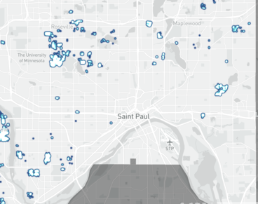
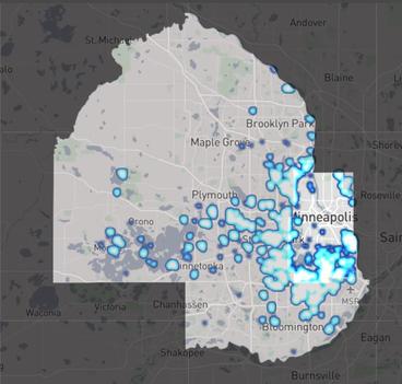
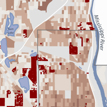
A suite of static cartography based on Mapping Prejudice data. These maps visualize the segregative impact of covenants on Black residents in Minneapolis between 1910-1940, the relationship of segregated neighborhoods to freeway construction, the relationship of racially restrictive covenants and contemporary neighborhoods of color, and the overall extent and pattern of racial covenants in Hennepin County.